How to read the table
Pick an origin in the first column and a destination along the top. Kilometres are routed road distance. Minutes are the router’s driving-time estimate under ordinary conditions. They are not a promise of your transfer duration; published fares are not calculated from these numbers. For money, use the fare table.
What usually surprises people
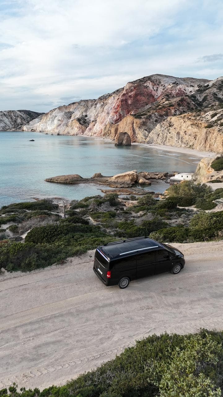
Pollonia is a longer hop from the airport than Plaka is, even though both are “on the island”. South-coast beaches are a different direction from the north-coast postcard stops. Klima is close in kilometres and slower in feel because of the hill. Papafragas sits on the Pollonia road, which is why it appears as a stop rather than a safari.
What a car cannot do
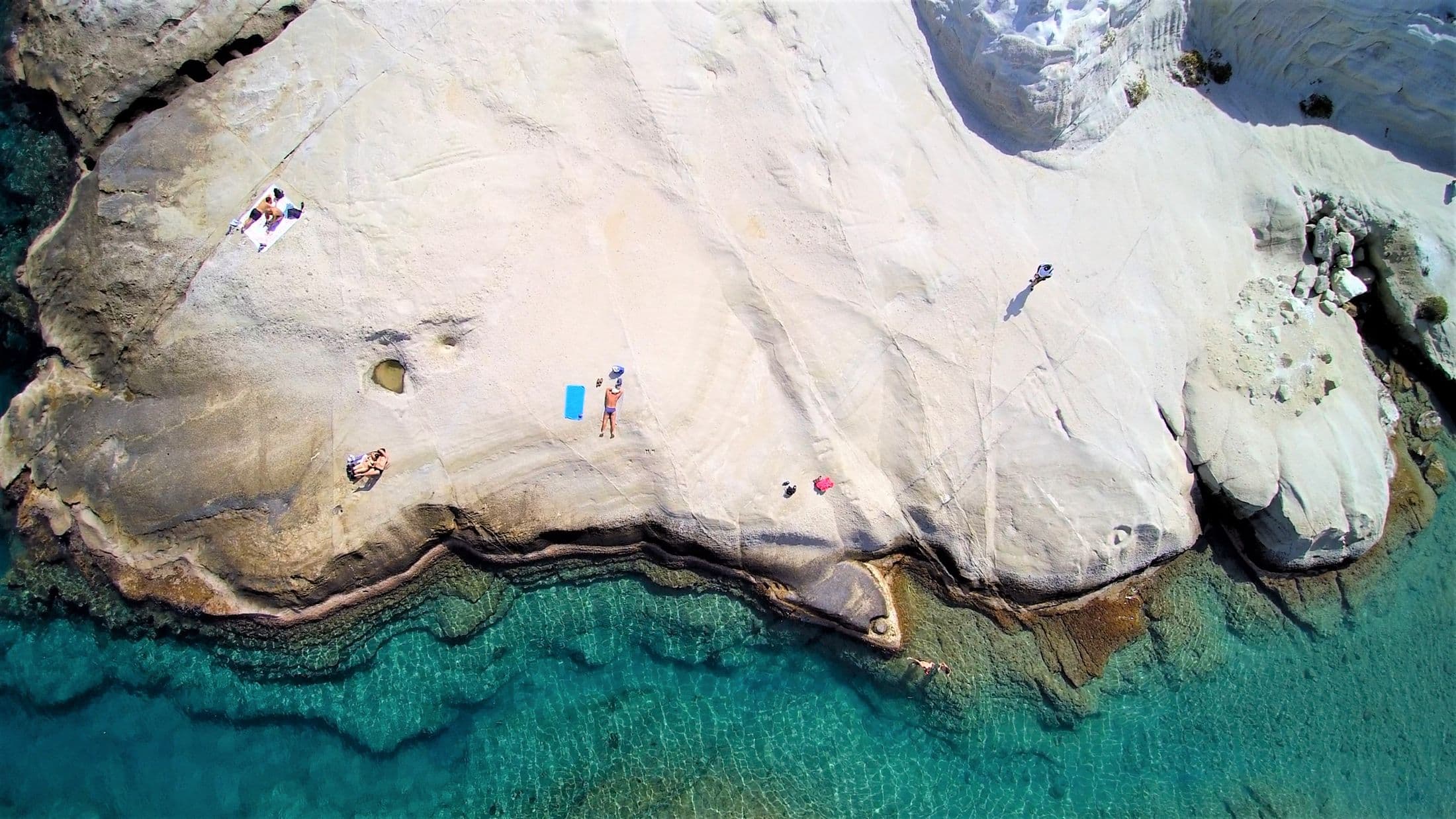
Kleftiko and Sykia are missing as driving destinations because a road does not reach them. Budget a boat day, and a harbour transfer if you need one. Tsigrado’s row is the car park, not the sand.
Distances and driving times
| Destination | From the airport | From Adamas port |
|---|---|---|
| Achivadolimni | 2.3 km · 3 min | 6.5 km · 8 min |
| Zefyria | 3.4 km · 4 min | 5.6 km · 7 min |
| Adamas | 4.6 km · 6 min | 0.5 km · 1 min |
| Adamas port | 4.8 km · 7 min | — |
| Provatas | 4.7 km · 7 min | 8.9 km · 12 min |
| Trypiti | 8.6 km · 11 min | 4.5 km · 6 min |
| Sarakiniko | 6.8 km · 11 min | 4.2 km · 6 min |
| Mandrakia | 7.8 km · 11 min | 4.4 km · 6 min |
| Paleochori | 7.8 km · 11 min | 10 km · 13 min |
| Agia Kyriaki | 7.4 km · 11 min | 9.6 km · 13 min |
| Plaka | 8.9 km · 12 min | 4.8 km · 7 min |
| Tsigrado | 6.7 km · 12 min | 10.9 km · 17 min |
| Klima | 9.8 km · 13 min | 5.7 km · 8 min |
| Papafragas | 9.6 km · 13 min | 7.3 km · 9 min |
| Firopotamos | 9.3 km · 14 min | 5.9 km · 9 min |
| Firiplaka | 7.3 km · 14 min | 11.5 km · 19 min |
| Pollonia | 12.5 km · 16 min | 10.2 km · 13 min |
| Plathiena | 10.5 km · 19 min | 7 km · 14 min |
Source: OSRM demo server (router.project-osrm.org), driving profile, over OpenStreetMap data. Computed 2026-09-20. These are planning estimates. Unsurfaced tracks, parking, summer traffic and the final walk all change the real time.
Common questions
Why do two directions show slightly different kilometres?
Sources and last check
- OpenStreetMap / OSRM demo routing (opens in a new tab) — checked 2026-09-20. Driving profile used to generate the on-page table
- Municipality of Milos: Getting around (opens in a new tab) — checked 2026-09-20. Lists taxis and links the island bus timetable
- Milos Elysium Transfers: published transfer prices (opens in a new tab) — checked 2026-09-20
Third-party schedules, opening times and prices change. Check the current source before you travel. This page has not yet been reviewed by the operator.