A landscape first, a beach second
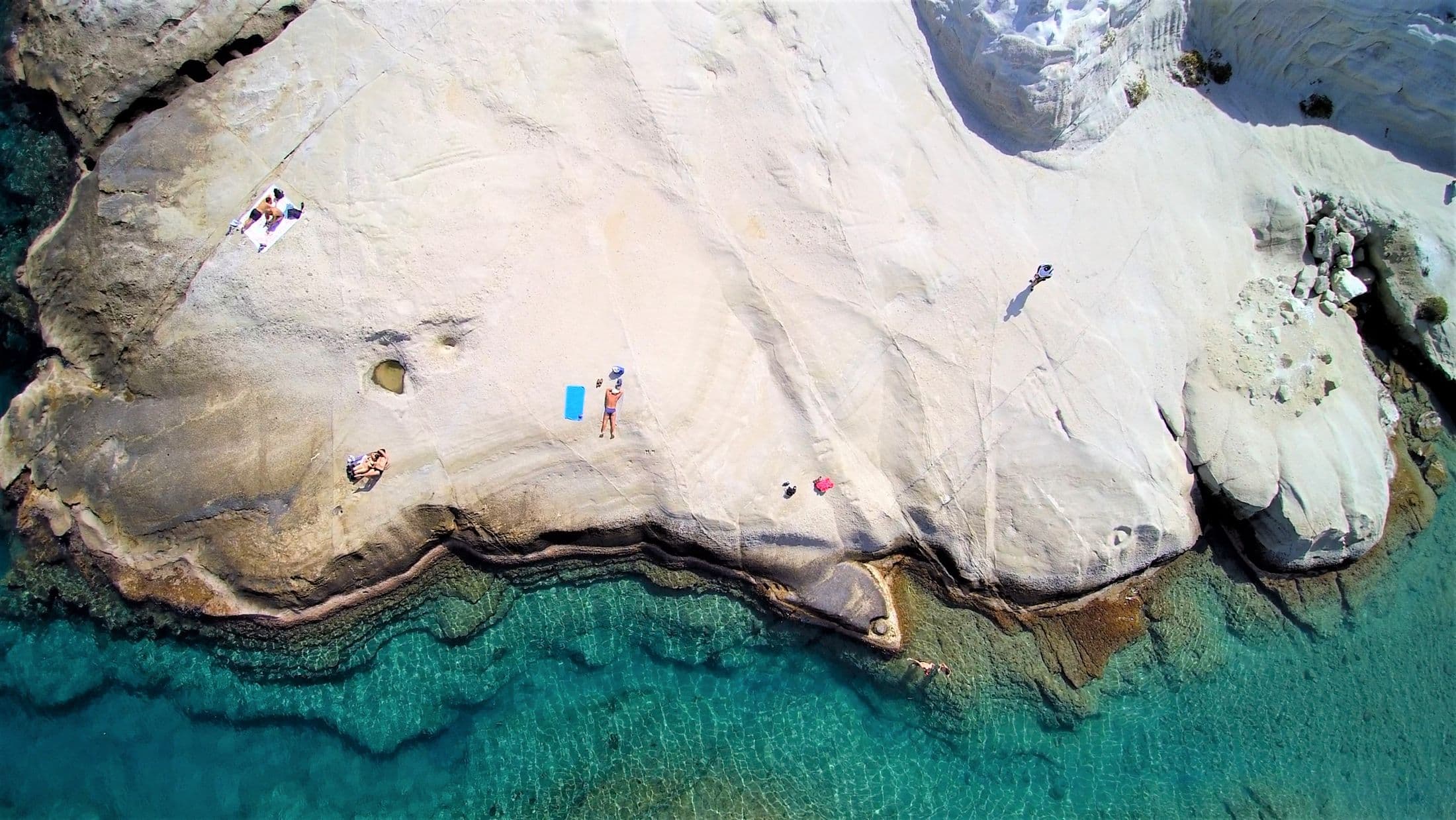
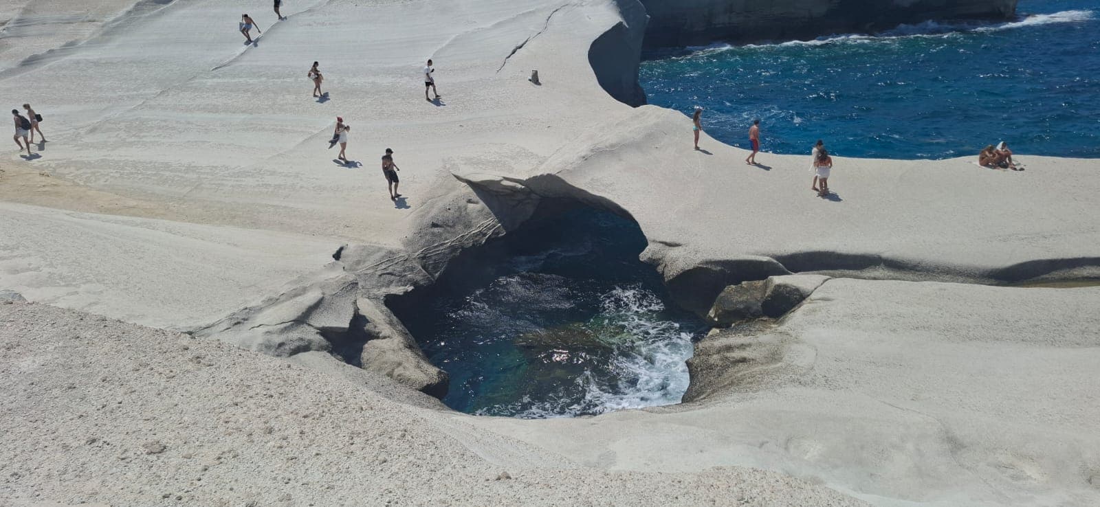
Sarakiniko is a stretch of the north coast where pale volcanic rock has been worn by north-driven waves into smooth shelves, hollows and low arches, with almost no soil or vegetation on it. The Municipality of Milos calls it the island’s most famous beach because of this lunar landscape, and points to the fossils in the layered volcanic material and to the mooring rings cut into the rock by the pirates who once sheltered here; the name is usually traced to the Saracens. There is no sand to lie on except at the head of the inlet. What you get instead is a white surface you can walk across for hundreds of metres, and on clear days a horizon that takes in Kimolos and Sifnos.
The inlet, swimming and jumping from the rocks
The swimming is in a small natural harbour enclosed by the rock, with a strip of sand at its head and blue-green water that deepens quickly. Entry is easy from the sand; the rock shelves either side are smooth and, when wet, slippery, so footwear with grip is a good idea. People do jump from the higher ledges into the inlet, and one reference lists Sarakiniko among the island’s jumping and diving spots. The depth below any ledge changes with the sea state, submerged rock is hard to judge from above, and none of the sources consulted for this page mentions a lifeguard, so treat the whole area as unsupervised: look, watch how the water is behaving, and decide for yourself.
The rock faces north. On a meltemi afternoon swell runs straight into the inlet and washes over the lower shelves, and the visit becomes a landscape walk rather than a swim; on a still morning the water can be glassy. Conditions vary, and this page makes no promise either way.
The Africa shipwreck
On the eastern side of Sarakiniko, where the rock gives way to a barer, more desert-like shore, lie the remains of the cargo ship Africa, which ran onto the coast here in 2003. The wreck sits roughly a hundred metres offshore and is described as visible when the waves draw back; divers visit it, and snorkellers in flat conditions can make out parts of it. It is a wreck in open water off an exposed coast, not an attraction with a path to it, so go only if the sea is calm and you are confident in it.
Sunrise, sunset and crowds
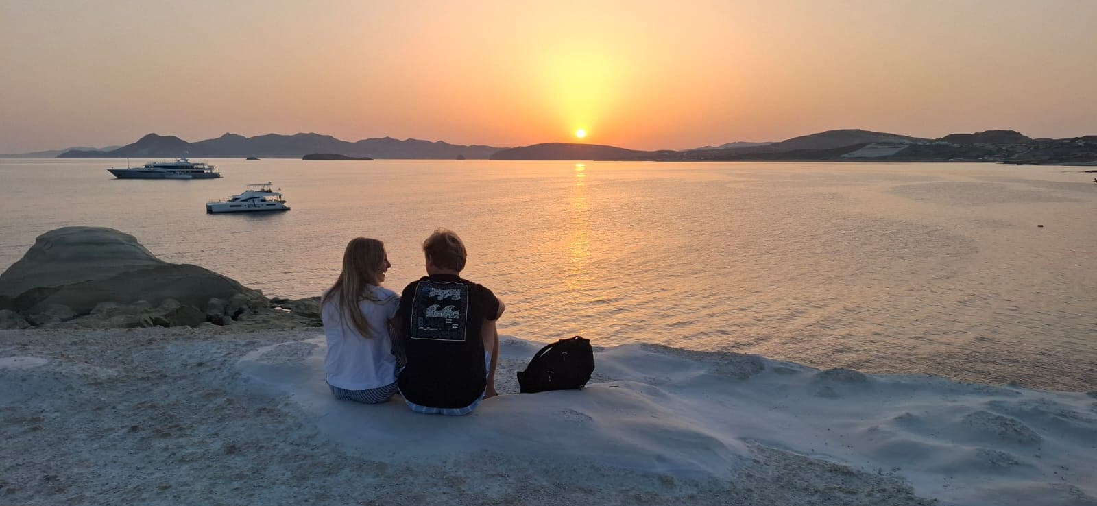
The white rock reflects light, which is why photographs taken at midday look bleached and the ones people remember are taken early or late. At sunrise the surface goes soft and warm in colour and you are likely to have it almost to yourself; the reference guides agree that early morning or late evening is the time to come with little company. Late afternoon gives the sunset over the water. In between, from mid-morning in July and August, Sarakiniko is busy: hire cars, buses and cruise-ship excursions arrive together and there is nowhere to hide from the sun. If you want the empty version, the sunrise tour is built around exactly that hour, with an early pickup and breakfast in Plaka afterwards.
Parking and the walk in
Sarakiniko is just off the road from Adamas towards Pollonia; reference guides give about ten minutes’ drive from Adamas port, roughly five kilometres, and about five kilometres from Plaka, and the island bus lists a Sarakiniko route in summer (check the current Milos Buses timetable). There is a parking area a short walk from the rock. It is informal and limited, and on busy days cars spill along the roadside so that the walk in becomes longer than the drive. From the car park it is a few minutes on foot across the rock to the inlet; the surface is uneven but not steep. A transfer drops you at the car park and collects you at an agreed time, which is the whole point of using one here: the parking problem disappears and you can arrive at the hour you actually want. Published fares to Sarakiniko from the airport, Adamas port and Pollonia are on the transfer prices page.
Practical notes
- No facilities. No kiosk, no toilets, no sunbeds, no shade. Bring water and something to make shade with.
- Footwear. The rock is smooth and wet rock is slippery. Sandals with grip rather than flip-flops.
- Heat. The white surface reflects sun as well as light; midday in August is genuinely uncomfortable.
- Caves. There are cave-like hollows and arches along the shore; some people explore them with a torch. Anything at sea level is only sensible in flat water.
- Leave nothing. There are no bins; carry everything out.
Nearby and how to combine it
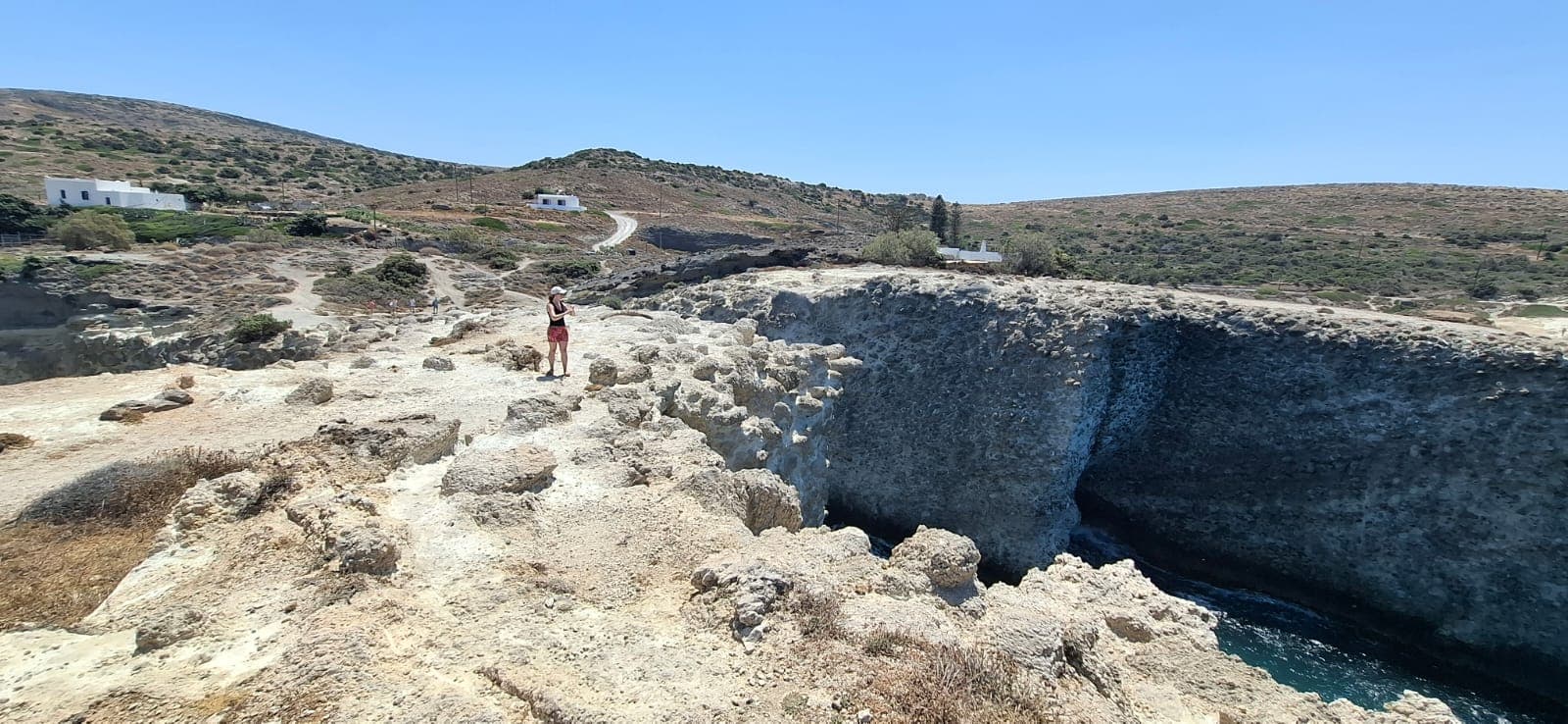
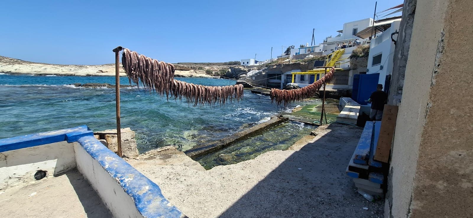
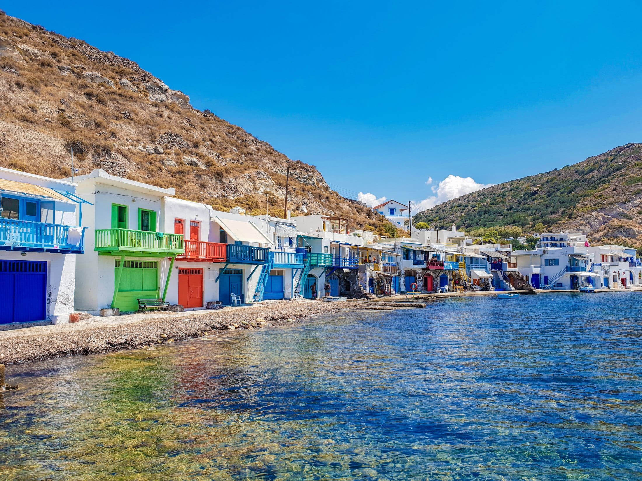
Mandrakia, a fishing hamlet with painted boat houses, is a few minutes further along the coast, and Papafragas with its sea caves is on the way to Pollonia. Together they make a north-coast half day, which is roughly what the highlights tour does before turning towards Plaka and Klima. For the rest of the island’s beaches, start with the beaches comparison; for a sandy day on the sheltered coast, see Firiplaka.
The beach at a glance
| Access | Paved road just off the Adamas–Pollonia road, with a parking area a short walk from the rock. A summer bus route to Sarakiniko is listed; check the current timetable. |
|---|---|
| Final walk | A few minutes on foot across smooth, uneven white rock from the car park to the inlet. No steps, but the rock is slippery when wet. |
| Drop-off & parking | Drop-off and collection at the car park by the road; vehicles cannot go onto the rock. Parking is informal and limited on busy days, so a drop-off with an agreed collection time removes the problem. |
| Facilities & season | None at any time of year: no sunbeds, kiosk, toilets or shade. The absence is deliberate, to protect the landscape. |
| Character | Layered white volcanic rock worn into shelves, hollows and low arches, with fossils in the strata; a small natural inlet with a strip of sand and blue-green water that deepens quickly; cave-like hollows along the shore; the Africa wreck offshore to the east. |
| Wind exposure | Faces north and is fully exposed to the meltemi; swell runs into the inlet on windy afternoons and waves can wash over the lower shelves. Calm mornings can be glassy. Conditions vary and there is no supervision. |
| Suits | Photographers, walkers, early risers and confident swimmers in calm water. Hard on small children and anyone unsteady on smooth rock; there is no shade for a long stay. |
| Nearby | Mandrakia and Firopotamos along the same coast, Papafragas and Pollonia to the east, Plaka and Trypiti inland. |
| Not verified | No source consulted states whether a lifeguard is ever present. Water depth below the ledges people jump from is not published. Any parking fee or attendant could not be verified. |
Common questions
Can you swim at Sarakiniko?
Is there a lifeguard at Sarakiniko?
What is the best time of day for Sarakiniko?
Is there parking at Sarakiniko?
Sources and last check
- Municipality of Milos tourism portal: Σαρακήνικο (opens in a new tab) — checked 2026-09-20
- Greeka: Sarakiniko beach (opens in a new tab) — checked 2026-09-20
- Wikipedia: Sarakiniko Beach (opens in a new tab) — checked 2026-09-20. Africa shipwreck, 2003
- Greeka: Things to do in Milos (opens in a new tab) — checked 2026-09-20. Notes rock-jumping at Sarakiniko and the closure of the Papafragas path
- 1001beach: Sarakiniko beach (opens in a new tab) — checked 2026-09-20
- Wikipedia: Etesian (meltemi) winds (opens in a new tab) — checked 2026-09-20. Season, direction and strength of the meltemi
- Greeka: KTEL buses in Milos (opens in a new tab) — checked 2026-09-20. Route list; seasonal frequency
- Milos Buses: seasonal timetables (opens in a new tab) — checked 2026-09-20. Timetables change weekly in summer; check before travelling
Third-party schedules, opening times and prices change. Check the current source before you travel. This page has not yet been reviewed by the operator.